ADVERTISEMENT
haiti mountain
Massif de La Hotte selected by UNESCO as biodiversity hotspot
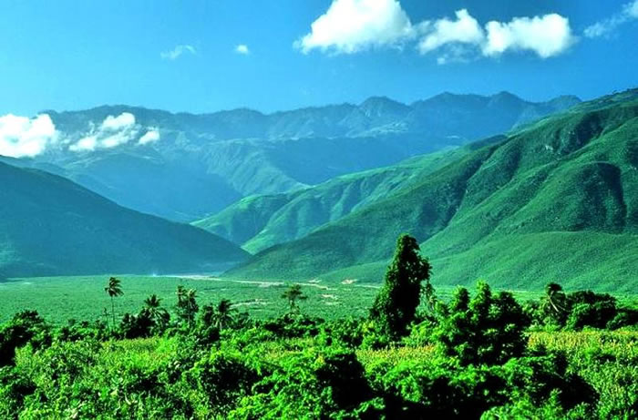
Here Massif de La Hotte selected by UNESCO as biodiversity hotspot
Massif de La Hotte is a mountain range with an area of 128,700 hectares in the south-east of the country, near the city of Jérémie. It is a hotspot for biodiversity in Haiti where the island's most biologically diverse species exist. This site has been recognized as among the sites hosting the largest number of Alliance for Zero Extinction (AZE) species in the world with 13 endemic and critically endangered species. Some of these threatened species of plants and animals include: Eleutherodactylus Amadeus, Eleutherodactylus Apostates, Eleutherodactylus Thorectes, and Eleutherodactylus Lamprotes. The reserve covers six mountain peaks including, Haiti's second highest peak, Macaya Peak (2347 meters) as well as a coastal and marine ecosystem in the north (Iles Cayemites) and south (Ile-à-Vache).
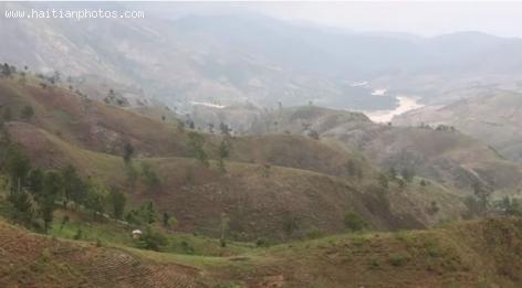
Morne Puilboreau, mountain located in Nord of Haiti
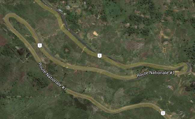
Here is a picture of Morne Puilboreau which is a mountain located in Nord of Haiti.
Puilboreau Morne (Morne Puilboreau) is a mountain in the Northern Department of Haiti, located 798 meters above the sea level. Based on the peakery data, with its 2,438 feet or 743 meter mountain peak near Plaisance, it ranks as the 23rd highest mountain in the Nord and the 230th highest mountain in Haiti. The nearest peaks are Morne Chemin Neuf, Morne Laroche, Mercredi, Morne Boulaille, Morne Terre Rouge and Morne Bijou. Morne Puilboreau is an elevation standing high above-the surrounding area with small summit area, steep slopes and local relief of 300m or more in the county of Haiti. Its center lies at a latitude of 19.53333 and longitude of -72.46667.
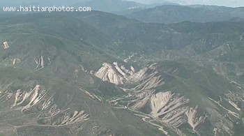
Grande Colline Mountain Pic, Haiti
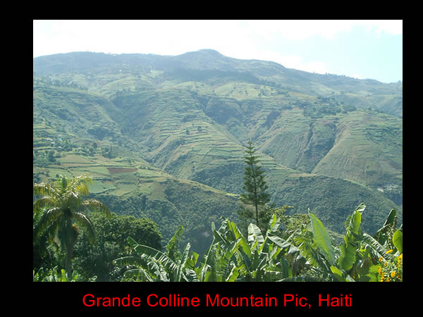
The largely uninhabited mountain range of Grande Colline is located in the South East of Haiti at the coordinates, 18° 17' 58" North, 72° 41' 29". As part of the education program, Terra Incognita, a team traveled to the Chaîne de la Grande Colline for the program's first episode. The theme of the series is to probe those remote parts of Haiti that are largely untraversed and, in some cases, even undiscovered.
Mountain bike stage racing
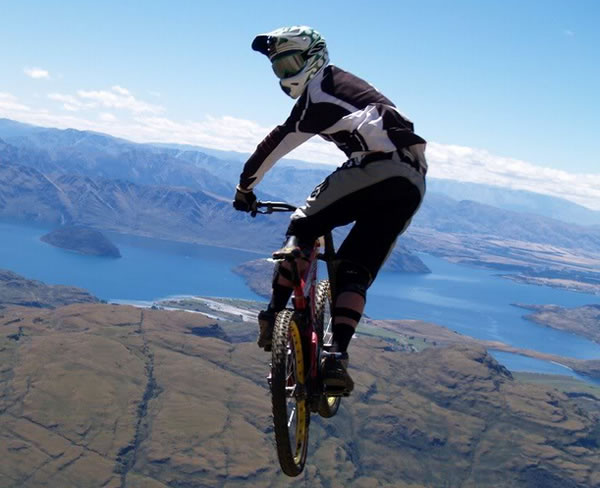
Mountain Bike Ayiti will take place for a second year in January of 2014. Following the success of its first staging earlier this year, promoters hope to capitalize on the momentum and host a fun, scenic tour of Haiti's mountains and some of the coast on two wheels. Filming of the event will be undertaken by an experienced team of professionals in the industry and highlights of the race, including results, will be aired on local networks with coverage by adventure and cycling media from around the world.
Grand-Goave Rebounds from 2010 Earthquake
Grand-Goâve and Petit-Goâve were originally one city named Goâve. The Spanish colonized it, naming it Aguava over 500 years ago. The French re-colonized it, splitting it into Grand- and Petit-Goâve.
In 2010 Grand-Goâve suffered some of the worst damage from the seven-point magnitude earthquake. Nine-tenths of its infrastructure was wiped out. The U.S. and another relief organization delivered disaster aid, remaining to assist in reconstruction. Today stability has been restored to the city and rebuilding projects continue to progress.
Fonds-Verrettes and drought
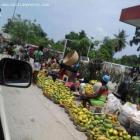
After five months of drought Fonds-Verrettes received rains this April. Farmers had already given up after losing their seeds during the drought that hit the area from November 2012 to march 2013. The region normally receives rains in March a time when most of the farmers have sowed their crops. The harvest time is usually in May. But this year the residents of Fonds-Verrettes await a difficult moment of food shortage. The ground is dusty and crops wither in the fields. The situation is desperate and local farmers have made an outcry for emergency response.
View of Town of Beauchamp
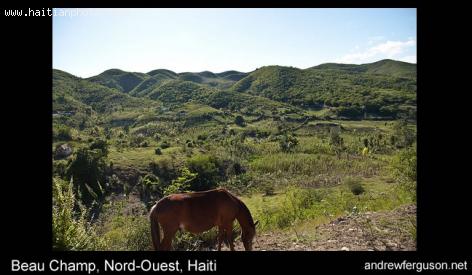
Here is a beautiful picture of a hill side in Beauchamp, Haiti. The town is not located near the coast. You will find spectacular view of beautiful mountains all over, with some vegetation still kept in place
These beautiful pictures of Beauchamp are courtesy of Andrew Furguson. You can see more pictures of Beauchamps here. I encourage you to visit his site for more pictures: andrewferguson.com
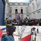
 Charlemagne Peralte betrayed by Jean-Baptiste Conze
  Who will be the next president of Haiti?
 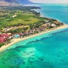 Royal Decameron Indigo and White sands
 _____________________
 Delimart Plaza, Delmas 32, Port-au-Prince, Haiti being looted
  Former PNH Chief, Godson Orelus, arrested for illegal arm...
  Haitiano-Japanese Naomi Osaka wins the US Open against Serena...
 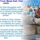 Haiti Street Food, manje kwit or Chin Janbe, for $1 or less
  Pope Francis appointed Mgr. Launay Saturne Archbishop of...