ADVERTISEMENT
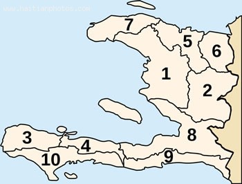
haiti map
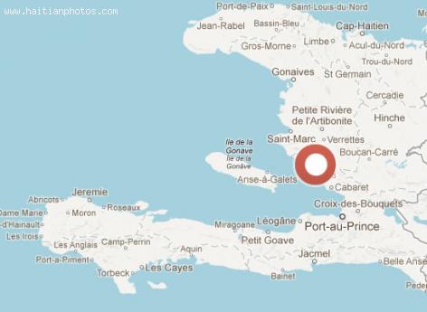
Boucan Carre Map
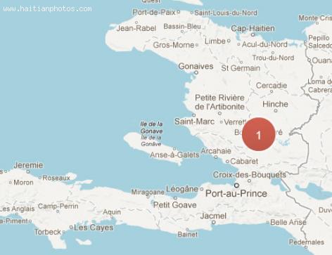
The town of Boucan-Carre is located in the Mirebalais arrondissement in the Haitian department of Centre.
With a population estimated to be around 48,700 people, Boucan-Carre is considered to be a municipality in the central region of Haiti. Its exact location lies within the coordinates; 18°58'0? North and 72°12'0? West. The town has altitude at 297 meters above sea level. Boucan-Carre is further subdivided into 3 communal sections. They are: Duffailly, Petite Montagne and Les Bayes.
The Map of the region of Beauchamp in Haiti
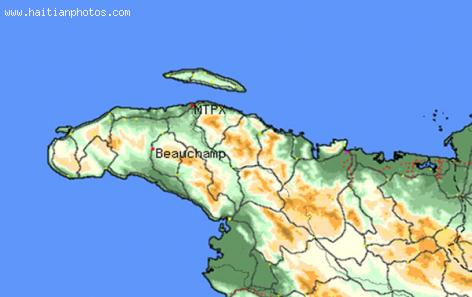
What you are looking at is the Map of a tiny town in Haiti called Beauchamp. Many people have not been here; however, I would strongly recommend it.
If you have an opportunity to visit Beauchamp, you will see the differencew between natural beauty and man made beauty. With a country that has been hit with all kind of disaster, Natural or man made, we are still able to find nature at its best, with an area still protected. If you are looking for this type of beauty, you need to put the town of Beauchamp on your list. This kind of beauty is also seen on the face of the people there as well
They might be poor but happy
Map of Bellevue la Montagne
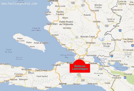
Here is a map to help you locate the region of Carrot harvesting - Bellevue la Montagne in Haiti.
Situated Nord-Ouest of Haiti, Bellevue La Montagne has a geographical coordinates of 19° 47' 40" North, 73° 11' 15" West. Its original name is La Montagne. It is located outside of the region of Petion-Ville. The region is representative of the entire island as the island of is one with some of the highest mountains in the world
The map of Aquin, in Haiti
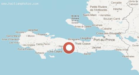
The small Haitian town of Aquin is a municipality in the Aquin Arrondissement. Itis located in the in the Sud Department of Haiti. It is a port on the south coast of the Tiburon Peninsula.
The population of Aquin is estimated at 95,004 inhabitants based on a Census taken in 2003
Aquin borders the Caribbean Sea, and it is found on your way from the Haitian Capital Port-au-Prince in direction to Les Cayes
City of Arcahaie Map
Here is a map of of the historic town of Arcahaie in Haiti. It has a lot of meaning for the independence of Haiti. Every year, during Haiti Flag Day on May 18, there is an important ceremony to commemorate the our flag.
The town of Arcahaie is a municipality in the Arcahaie Arrondissement and according to the last census, its population is estimated at 102,639 inhabitants.
Haiti and its deforestation problem
The country of Haiti has a major environmental problem and this problem is dated back a long time.
In 1923 forests covered nearly 60 percent of Haiti. Sadly, today, less than two percent of the country is covered. As the country is moving to a more deserted land, it also has to deal with more and more problems from social to economic and even spiritual. The government of Haiti has not done much to deal with this coming crisis. One of the main problems is that the people continues to cut trees as the main source of fuel.
 Church Avenue Bakery Haitian Patties
  Bouki Ak Ti Malice, Story Of Intelligence Vs Ignorance For...
  Madame Max Adolphe, Fiette Lalo, Was A Member Of Francois...
 _____________________
 Rafael L. Trujillo welcoming Paul Magloire in Santo Domingo
  Port-au-Prince on fire over gas prices hike
  Partial list of privileges enjoyed by Government officials in...
  Jovenel Moïse nominated Jean Henry Céant as prime minister of...
  Jovenel Moise, the president has spoken. Period