ADVERTISEMENT
independence
View of Fort-Liberte
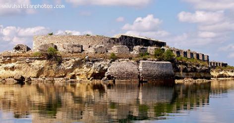
A city naturally designed to be a great place. The coast line between Fort-Liberté Bay and Point Yaquezi has a low sandy beach. The reefs with mangrove forests are unique. The entrance to the city is easily recognizable
Between 1503 and 1505, Nicolás Ovando founded the town of Puerto Real around the town of Caracol, to the west of Fort-Liberté.
Haiti Earthquake - January 12, 2010
Here is a photo of Haiti Earthquake - January 12, 2010.
. It is reported that more than 230,000 people were killed. More than 3 million people were affected. Many homes and important structures were destroyed. A large number of people were left homeless and had to live under tents for several months
On January 12, 2010, a magnitude 7.0 earthquake hit Haiti, devastating Port-au-prince.
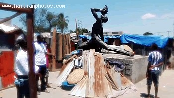
Neg Maron Victim Of Haiti Earthquake 2010

Here is a picture of Neg Maron suddenly having a lot of people moving into his neighborhood in Port-au-Prince following the Haiti earthquake of 2010.
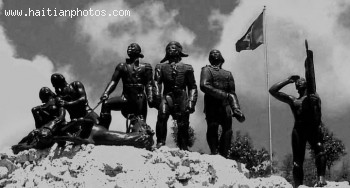
Many people were living in tent a a result of Haiti Earthquake 2010. Champ de Mars was one of the locations where thousands of people who became homeless built their tent

Francois Mackandal
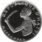
Here is the closest picture we could find of Francois Mackandal. He was a slave in Saint Domingue but very intelligent. He predicted that the slaves would eventually overthrow their white masters.
Francois Mackandal made believe that he had some supernatural power and was immortal
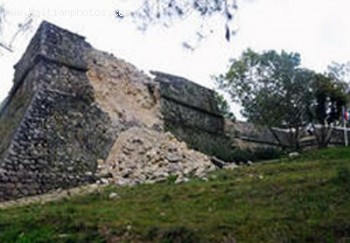
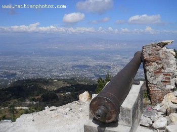
Historic Site - Citadelle Laferriere
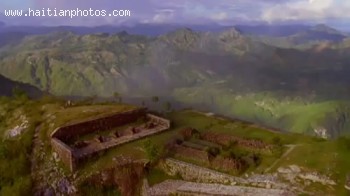
Here is a picture of one of the most Historic Sites in Haiti. Citadelle Laferriere was built under a decree by King Henry Christophe to be ready in case of an invasion of the Frence military. In 1804, Haiti took its independence from France has declared itself Free since that time
 Chelsea Clinton email Dad, Mom on Haitian relief incompetence
  François Nicolas Duvalier Potential Candidate for President of...
 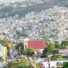 Petion-Ville, Haiti
 _____________________
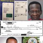 Commissioner Frantz Pierre indicted for accepting bribes
 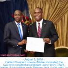 Jovenel Moïse nominated Jean Henry Céant as prime minister of...
 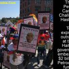 The Petro Caribe Challenge hashtag
 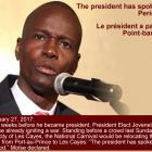 Jovenel Moise, the president has spoken. Period
  Dr. Michaëlle Amédée Gédéon is dead