ADVERTISEMENT
mountain
Massif de La Hotte selected by UNESCO as biodiversity hotspot
Here Massif de La Hotte selected by UNESCO as biodiversity hotspot
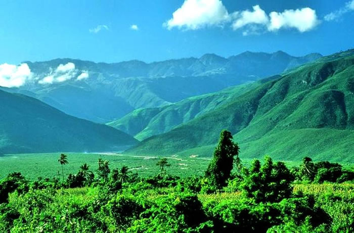
Massif de La Hotte is a mountain range with an area of 128,700 hectares in the south-east of the country, near the city of Jérémie. It is a hotspot for biodiversity in Haiti where the island's most biologically diverse species exist. This site has been recognized as among the sites hosting the largest number of Alliance for Zero Extinction (AZE) species in the world with 13 endemic and critically endangered species. Some of these threatened species of plants and animals include: Eleutherodactylus Amadeus, Eleutherodactylus Apostates, Eleutherodactylus Thorectes, and Eleutherodactylus Lamprotes. The reserve covers six mountain peaks including, Haiti's second highest peak, Macaya Peak (2347 meters) as well as a coastal and marine ecosystem in the north (Iles Cayemites) and south (Ile-à-Vache).
The government of Haiti and the environment
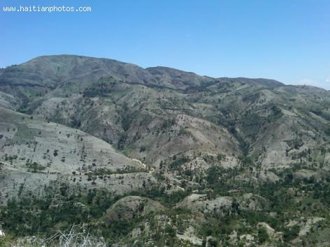
The government of Haiti is not competent to resolve the environmental problem of Haiti. We are in presence of a government that can only deal with crisis. Just imagine that it takes years for the environment to reach this level of degradation, the government will not have this as a direct challenge; consequently, seach problem will be put in the back burner.
In 1999, there was a 15-year Environment Action Plan, for Haiti. The authority at the time, proposed to stop deforestation by developing alternative fuel sources. We are now in 2013, with only two years left in the plan, the problem has gotten worse
Morne Puilboreau, mountain located in Nord of Haiti
Here is a picture of Morne Puilboreau which is a mountain located in Nord of Haiti.
Puilboreau Morne (Morne Puilboreau) is a mountain in the Northern Department of Haiti, located 798 meters above the sea level. Based on the peakery data, with its 2,438 feet or 743 meter mountain peak near Plaisance, it ranks as the 23rd highest mountain in the Nord and the 230th highest mountain in Haiti. The nearest peaks are Morne Chemin Neuf, Morne Laroche, Mercredi, Morne Boulaille, Morne Terre Rouge and Morne Bijou. Morne Puilboreau is an elevation standing high above-the surrounding area with small summit area, steep slopes and local relief of 300m or more in the county of Haiti. Its center lies at a latitude of 19.53333 and longitude of -72.46667.
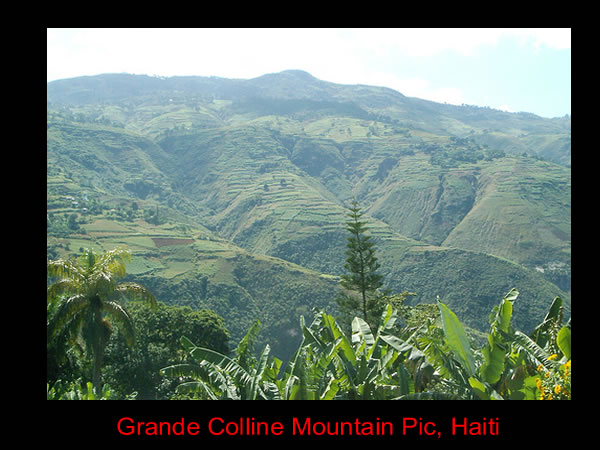
Grande Colline Mountain Pic, Haiti
The largely uninhabited mountain range of Grande Colline is located in the South East of Haiti at the coordinates, 18° 17' 58" North, 72° 41' 29". As part of the education program, Terra Incognita, a team traveled to the Chaîne de la Grande Colline for the program's first episode. The theme of the series is to probe those remote parts of Haiti that are largely untraversed and, in some cases, even undiscovered.
Grand-Goave Rebounds from 2010 Earthquake
Grand-Goâve and Petit-Goâve were originally one city named Goâve. The Spanish colonized it, naming it Aguava over 500 years ago. The French re-colonized it, splitting it into Grand- and Petit-Goâve.
In 2010 Grand-Goâve suffered some of the worst damage from the seven-point magnitude earthquake. Nine-tenths of its infrastructure was wiped out. The U.S. and another relief organization delivered disaster aid, remaining to assist in reconstruction. Today stability has been restored to the city and rebuilding projects continue to progress.
Fonds-Verrettes and drought
After five months of drought Fonds-Verrettes received rains this April. Farmers had already given up after losing their seeds during the drought that hit the area from November 2012 to march 2013. The region normally receives rains in March a time when most of the farmers have sowed their crops. The harvest time is usually in May. But this year the residents of Fonds-Verrettes await a difficult moment of food shortage. The ground is dusty and crops wither in the fields. The situation is desperate and local farmers have made an outcry for emergency response.
White marble in Gonaives, same quality with Italian marble
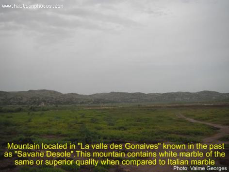
Here is a picture of a mountain located in la valle des Gonaives which was known in the past as Savane Desole.
This mountain contains white marble of the same quality with Italian marble. This is another example of the wealth that exists in Haiti
We probably have a lot more of these mountains filled with these white marbles that the world would want to pay lots of money for.
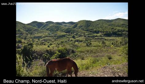
View of Town of Beauchamp
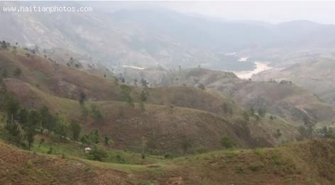
Here is a beautiful picture of a hill side in Beauchamp, Haiti. The town is not located near the coast. You will find spectacular view of beautiful mountains all over, with some vegetation still kept in place
These beautiful pictures of Beauchamp are courtesy of Andrew Furguson. You can see more pictures of Beauchamps here. I encourage you to visit his site for more pictures: andrewferguson.com
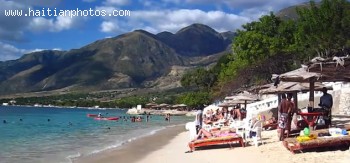
Wahoo Bay Beach And Mountain
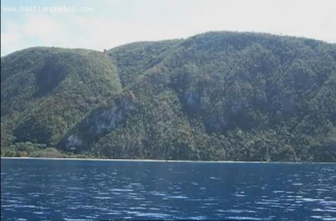
Here is a picture of a Haitian hiding place. Wahoo Bay Beach, with its sandy beach and clear water is located about 45 minutes of Port-au-Prince, Haiti and is a refuge for many people who know about it. You can find Wahoo Bay Beach between the huge Matheux mountains, while looking at La Gonave Bay

 Nouveau College Bird in Port-au-Prince, Haiti
  President Florvil Hyppolite Haiti's famed Iron Market
  Le Chic Poulet by Haiti Broilers S.A.
  Haitians, the second largest black immigrant group in the US
  Port-au-Prince on fire over gas prices hike
  Commissioner Frantz Pierre indicted for accepting bribes
  Former PNH Chief, Godson Orelus, arrested for illegal arm...
  Paul Eugène Magloire, born in Quartier Morin


