ADVERTISEMENT
city
Fort Liberte Map
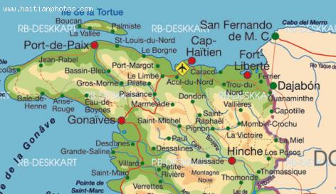
The city of Fort Liberte is situated in Nord-Est, Haiti, its geographical coordinates are 19° 40' 4" North, 71° 50' 23" West. It is the administrative capital of the Nord-Est Department, Haiti.
Fort Liberte is located near the border of the Dominican Republic. The city is one of the oldests in Haiti.
The arrondissement of Fort Liberte has three municipalities: Fort-Liberté, Ferrier and Perches.
During the colonization period, Fort Liberte was a major plantation area of coffee
A picture of Jalousie Slum in Port-au-Prince

This is the view in Port-au-Prince, one of Haiti's biggest shantytowns,called jalousie. It is a large number pf homes located on a mountainside in the nation's capital. Currently, there is a project to paint them
Many people were employed to start painting the concrete facades of buildings in Jalousie slum in a rainbow of purple, peach, lime and cream. This idea was taken from the famous Haitian artist and Haitian painter Prefete Duffaut in his famous work "cities-in-the-skies".
This project is to cost the government $1.4 million
Staghorn corals found near Fort Liberte
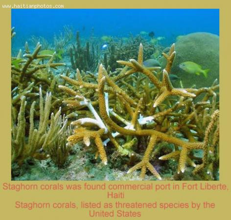
Off the eastern edge of the opening to Fort Liberte Bay is a beautiful wall equiped with somethin special. Staghorn corals are found near Fort Liberte.
With its disappearing tropical forests and ravaged wetlands, it has been a surprise discovery recently about the Caribbean island. The discovery of endangered corals and a rare tiny lizard along its northern coast is threatening an ambitious vision to spur economic growth.
The City of Fort-Liberte
The bay of Fort-Liberte at one point was the site of Caribbean's largest sisal plantation until nylon was invented.
An economy that use to depend strictly in agriculture, Fort-Liberte had in the old days had a vibrant economy. The region was reputable for its tillage plantation, but also sugar-cane, coffee, cocoa, and cotton. At one point during the Colonization period, there were 793 sugar plantations, 3,117 coffee plantations, 789 cotton plantations,
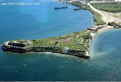
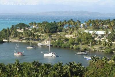
View of Fort-Liberte
A city naturally designed to be a great place. The coast line between Fort-Liberté Bay and Point Yaquezi has a low sandy beach. The reefs with mangrove forests are unique. The entrance to the city is easily recognizable
Between 1503 and 1505, Nicolás Ovando founded the town of Puerto Real around the town of Caracol, to the west of Fort-Liberté.
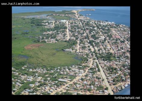
View of Fort-Liberte, Haiti
Here is an areal view of Fort-Liberte, Haiti. During the time of the Colonialization, The Harbor of Fort-Liberte was a major port for import and export.
The port is strategically located in the centre of the bay and used to be utilized as a naval base by the French
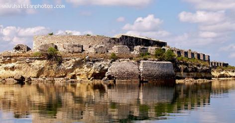
There ater two major forts which are at the base of the city name. Fort Lachatre and Fort Labourque were captured by Toussaint Louverture the leader of the Haitian Revolution, in 1793.
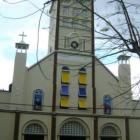
Cathedral of Fort-Liberte
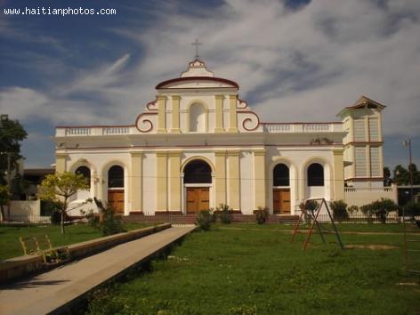
This is a colonial Cathedral in the historic city of Fort-Liberte.
Fort-Liberté is located in the Nord-Est Department, which borders the Dominican Republic.
It is part of three municipalities, including Ferrier and Perches. The City of Fort-Liberte has a long history. During the colonial era, it was a major plantation area, and today it remains an important coffee-producing area.
Louis Elie Lescot, born in Saint-Louis du Nord
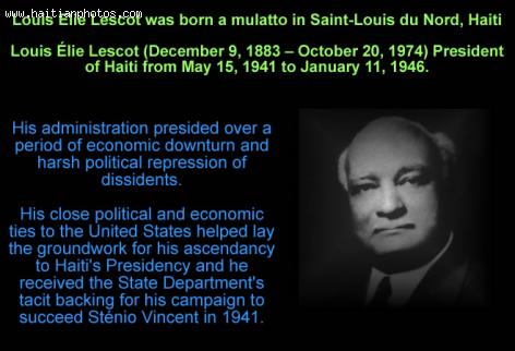
Here is the Haitian President Louis Élie Lescot. He was born in Saint-Louis du Nord, Haiti. With close to 70,000 in population, Saint-Louis-du-Nord is a municipality in the Saint-Louis-du-Nord Arrondissement, in the Nord-Ouest Department of Haiti.
It is located on the northern coast of Haiti, a few hours west of Cap-Haitien
Beautiful Beaches in Abricots, Haiti
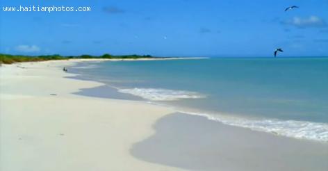
Abricots is located at the tip of the Southern Peninsula of Haiti. The population of Abricots is estimated at 32,000 From souls in the 80s, it fell to less than 25,000 inhabitants according to the latest information.
In Haitian Creole, it is called Abriko. This beautiful town is located near the major Haitian city of Jeremie.
During the time of the Harawak Indians, the town of Abricots was called a Paradise for the Indians. It is a coastal town. Abricots has a comfortable climate all yea long.
 Judge Lamarre Belizaire and Jean Bertrand Aristide
  Ougan Alcenat Zamor eli nouvo Nasyonal ati
  Haitian Flag Under Francois Duvalier changed in 1964 to black...
 _____________________
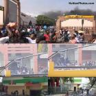 Delimart Plaza, Delmas 32, Port-au-Prince, Haiti being looted
 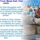 Haiti Street Food, manje kwit or Chin Janbe, for $1 or less
  Port-au-Prince on fire over gas prices hike
 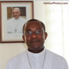 Pope Francis appointed Mgr. Launay Saturne Archbishop of...
  Meet Haitian-American professional baseball pitcher Touki...